by Kristy Christiansen | Sep 18, 2019 | Beyond the State, California
For the last leg of our journey, we left the rugged, chilly coastline to venture east to northern California’s volcanoes. The two areas couldn’t have been more different than each other. And the four-hour drive between them was alternately wildly beautiful and utterly devastated.
Highway 299
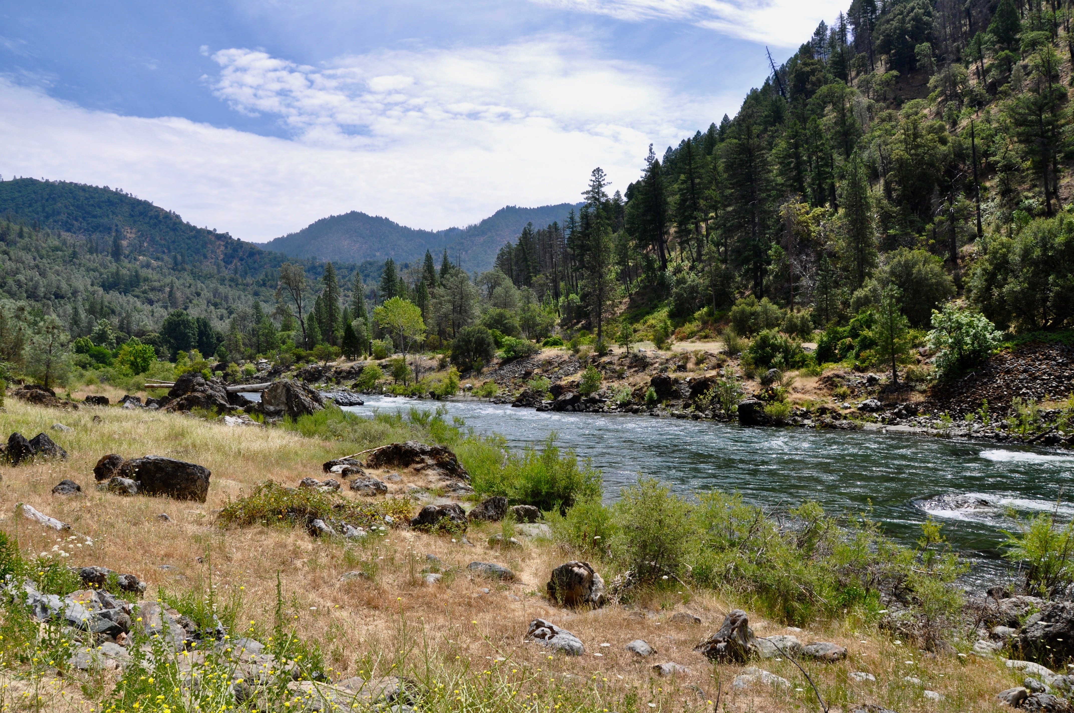
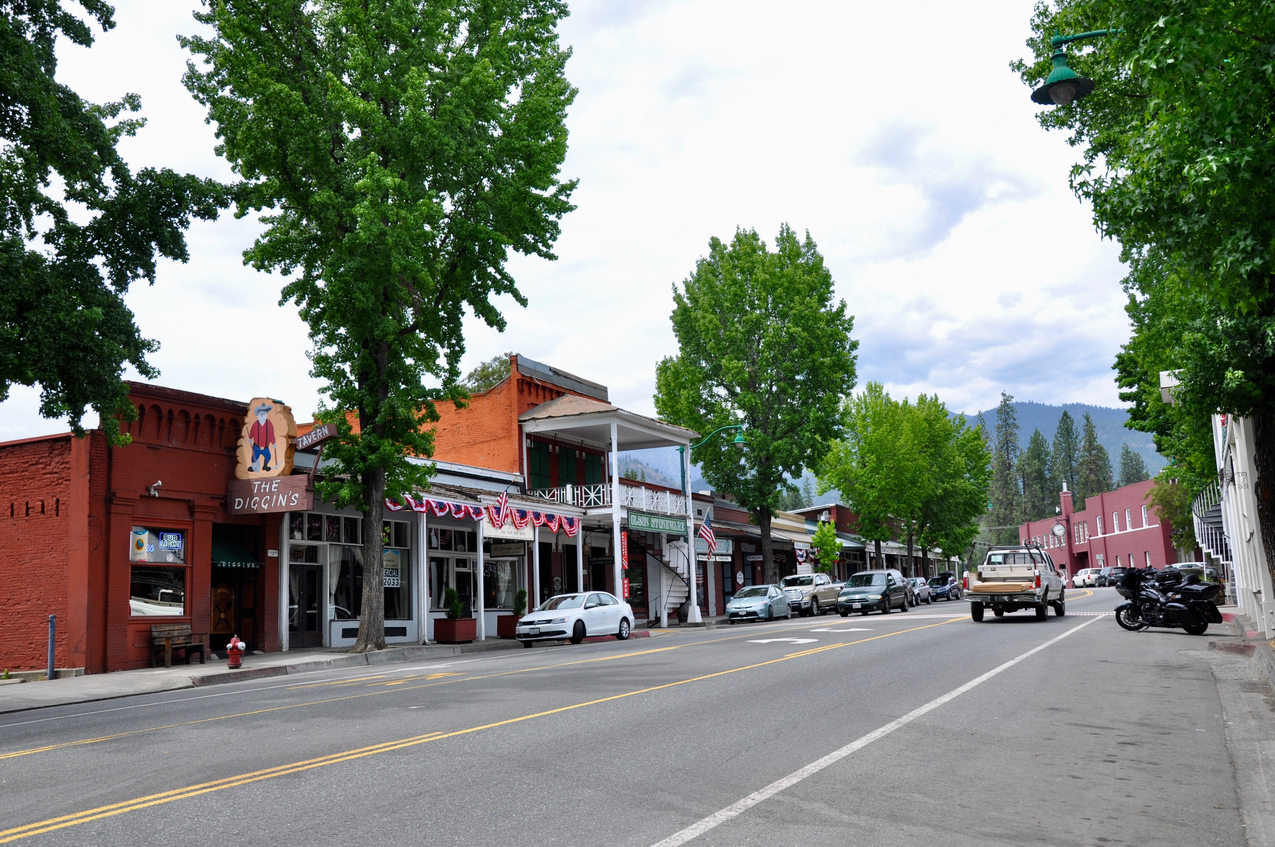
Highway 299 cuts its way east across the mountains, paralleling the scenic Trinity River for much of the route.The river is a great location for salmon and steelhead fishing. The drive itself is beautiful, some of it passing through a National Forest, with only a few towns popping up here and there. We picked up coffee in Big Bar at Strawhouse Coffee Shop then made a stop in Weaverville (pictured below) to tour the Jake Jackson Museum and get a peak at the Joss House Chinese Temple. We also popped into the Forest Service Ranger Station, where the kids loaded up on Smoky the Bear paraphernalia.
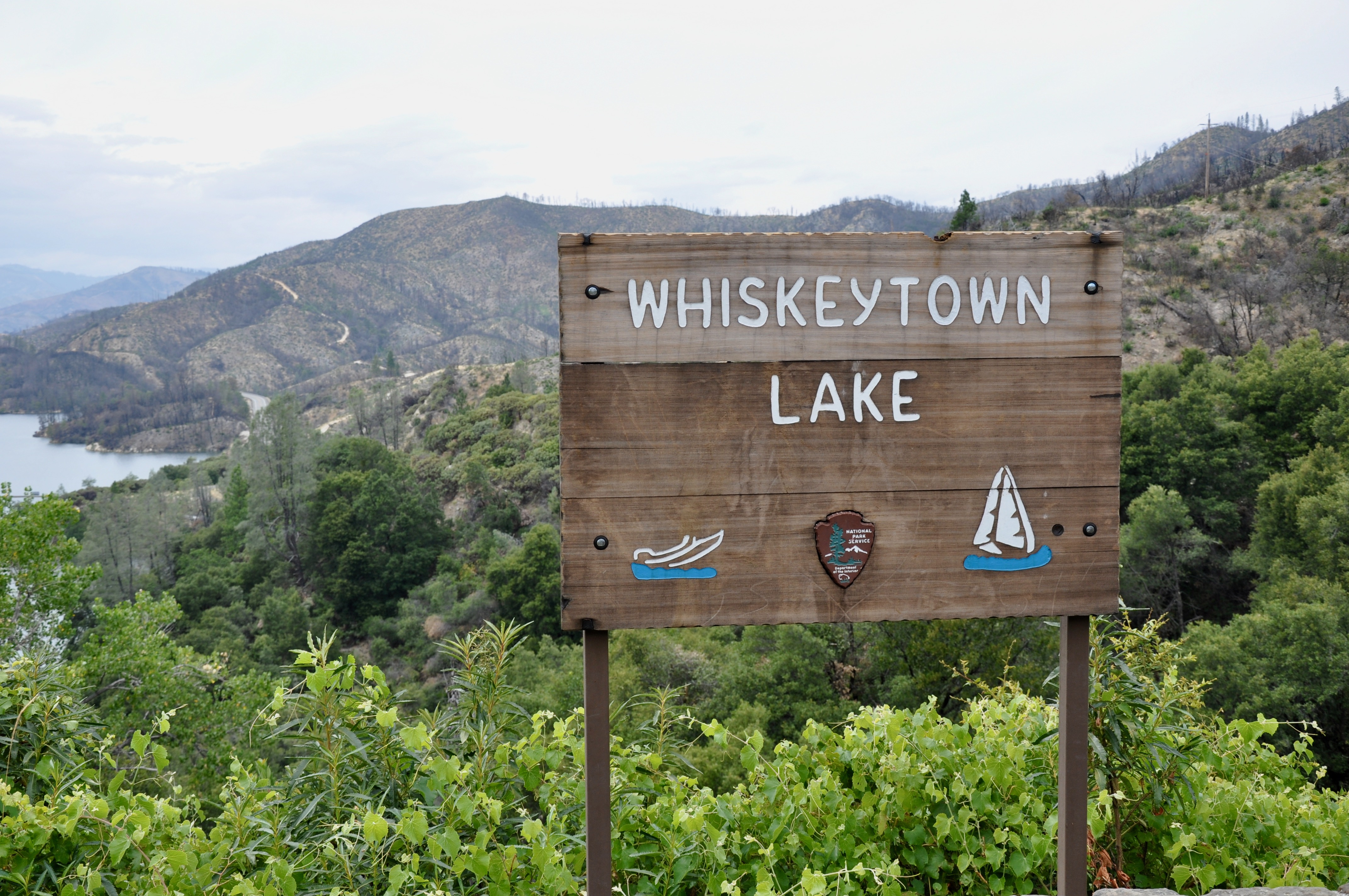
Once we passed Lewiston, the landscape changed to charred trees and bare mountains, evidence of the 2018 Carr Fire. Whiskeytown Lake National Recreation Area was at the heart of the fire, which began with a flat tire and a spark coming off the rim when it hit pavement. Nearly 93% of the park was burned and much of it remains closed today. We did find a nice trail down to the lake from the Visitor’s Center though. East of Whiskeytown, we came across Shasta State Historic Site, a ghost town from the days of the California Gold Rush.
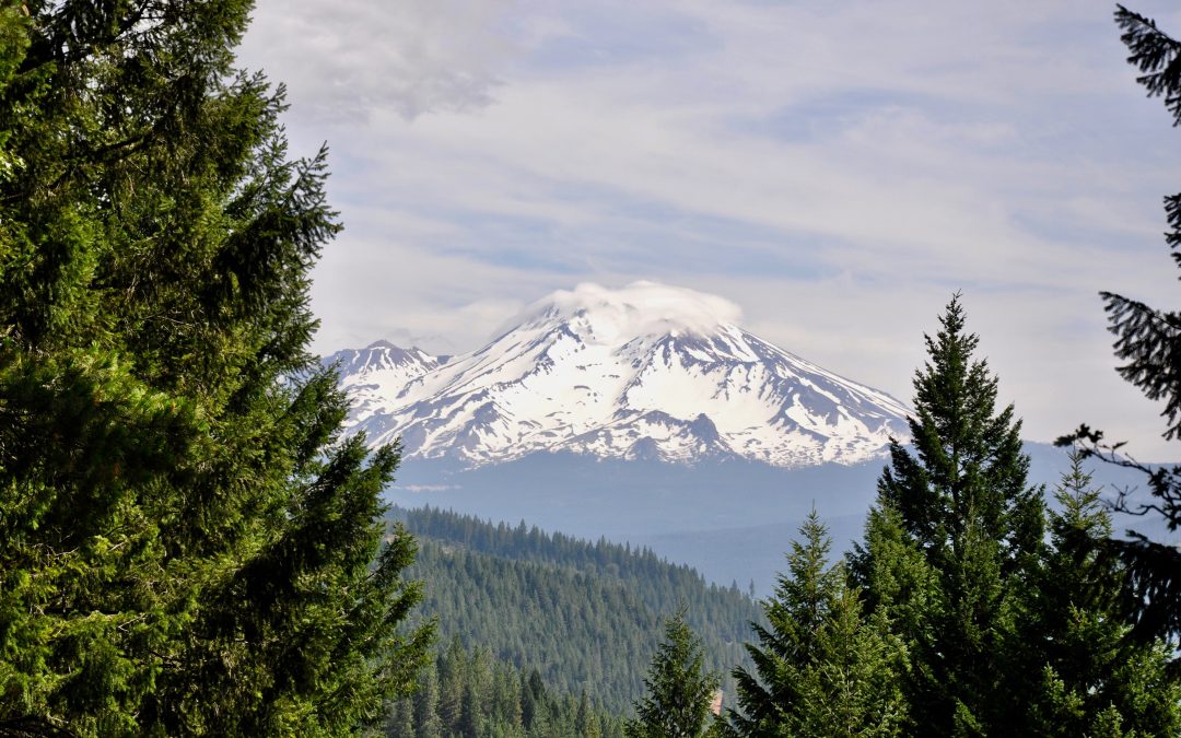
Ready to find our Airbnb in Dunsmuir, we didn’t have time to explore Redding. We did spy the famous Sundial Bridge from a distance, though. And we caught our first glimpse of Mt. Shasta after turning north on I-5. The impressive volcano dominated the horizon during our stay in the area.
Castle Crags State Park
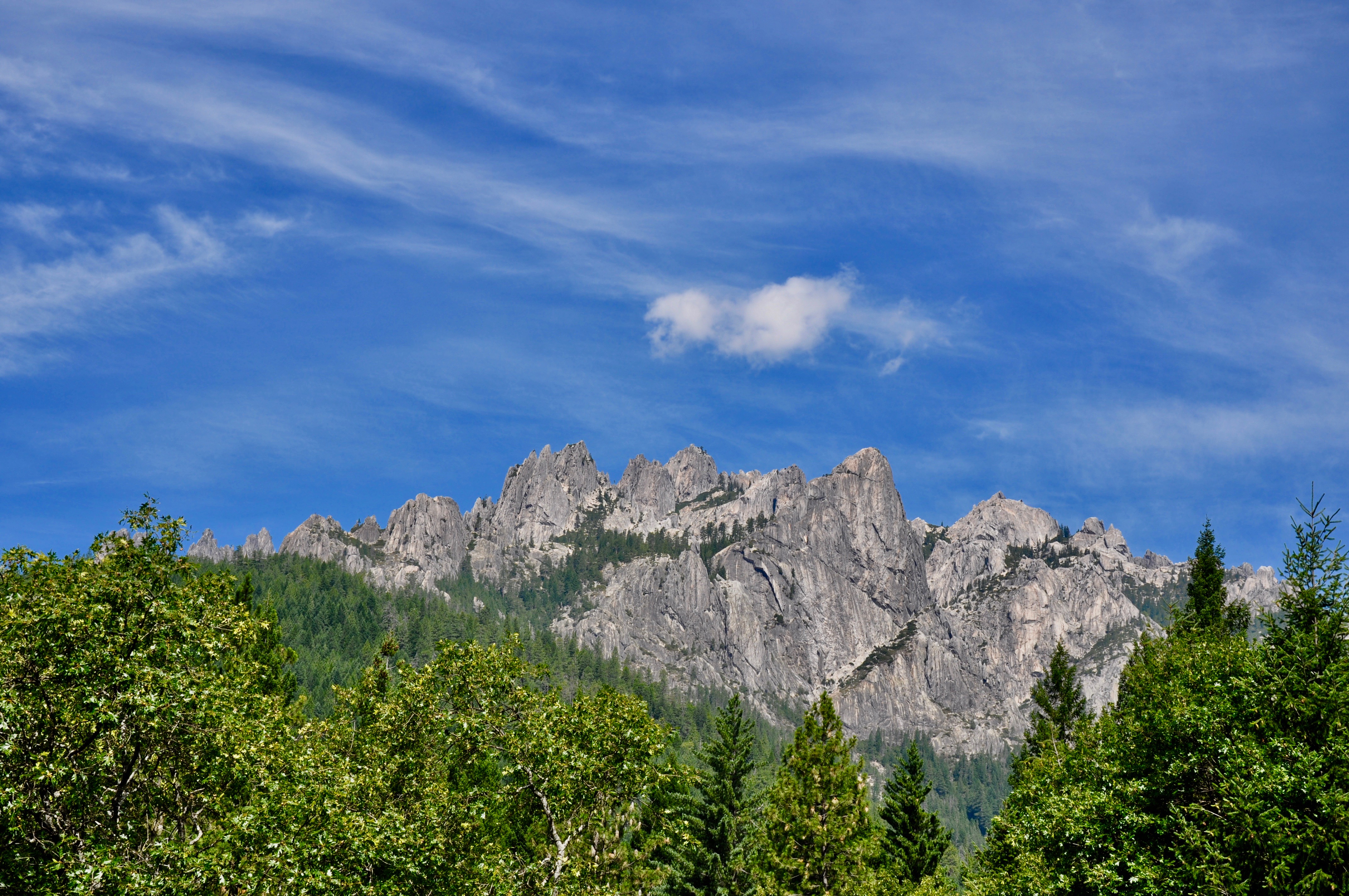
The granite outcroppings of Castle Crags State Park are just down the road from Dunsmuir. The 2,650-mile Pacific Crest Trail passes through the park, but we opted for the one-lane drive up followed by a short hike to the Vista Point. Afterwards, we went fishing in the Sacramento River, which flowed right beside the campground and the area’s natural mineral springs.
Mt. Shasta Fish Hatchery & Sisson Museum
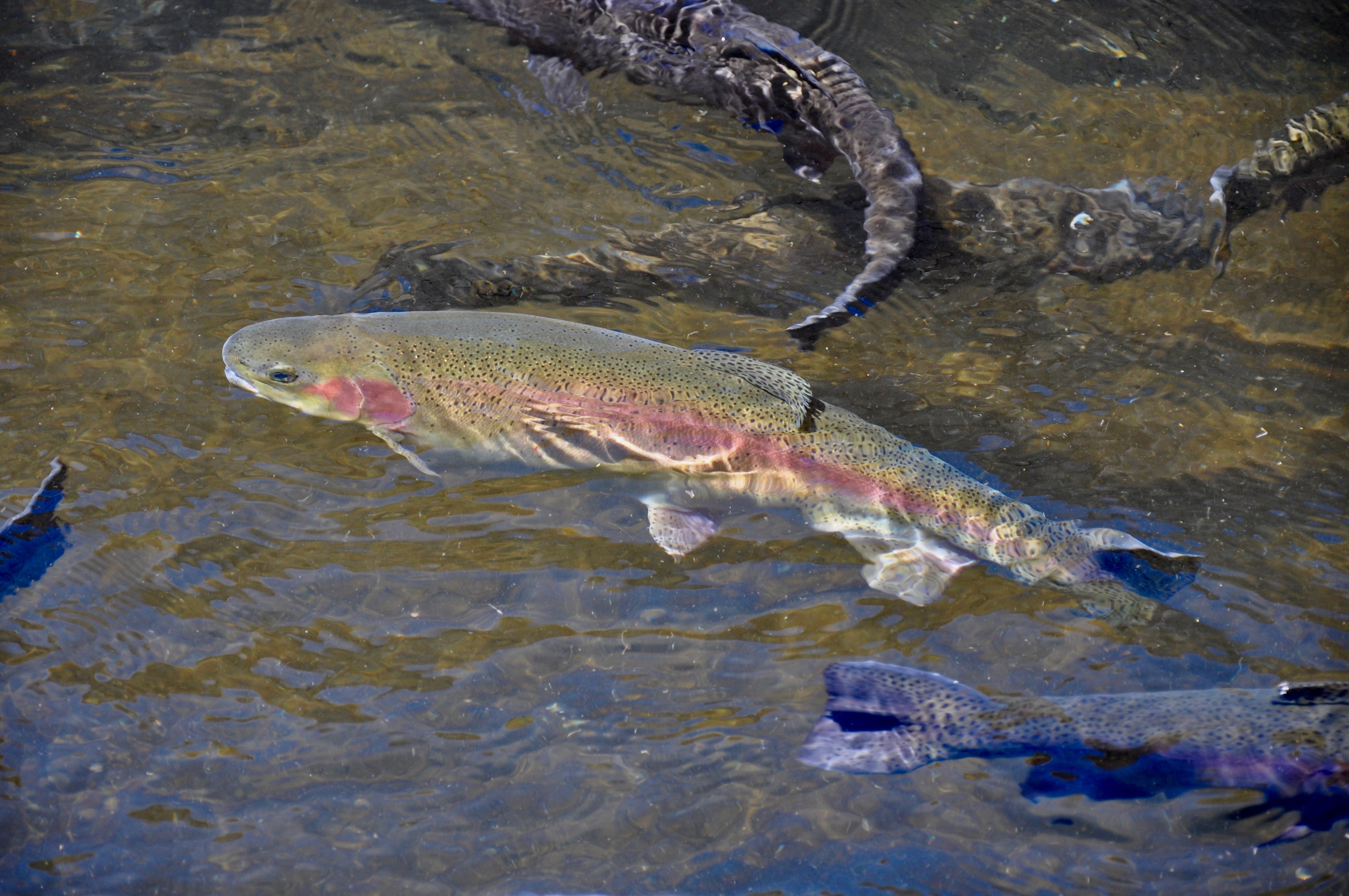
An unexpected highlight of our trip was the Mt. Shasta Fish Hatchery and Sisson Museum. The trout hatchery is the oldest west of the Mississippi and features rows of ponds with varying sizes of fish. Here you can grab a handful of food and watch the trout churn up the water while vying to catch some dinner. The Museum was a wealth of information on the town of Mt. Shasta, the volcano, the railroad and pretty much anything else in the area. But the best part was the multiple play options for kids. They could climb aboard an old fire truck using the hoses to put out fires, crawl through tunnels, play dress up in an old cabin, watch the model trains or spend hours in the kids’ playroom. It’s the one spot our five-year-old begged to return to again and again.
Mt. Shasta
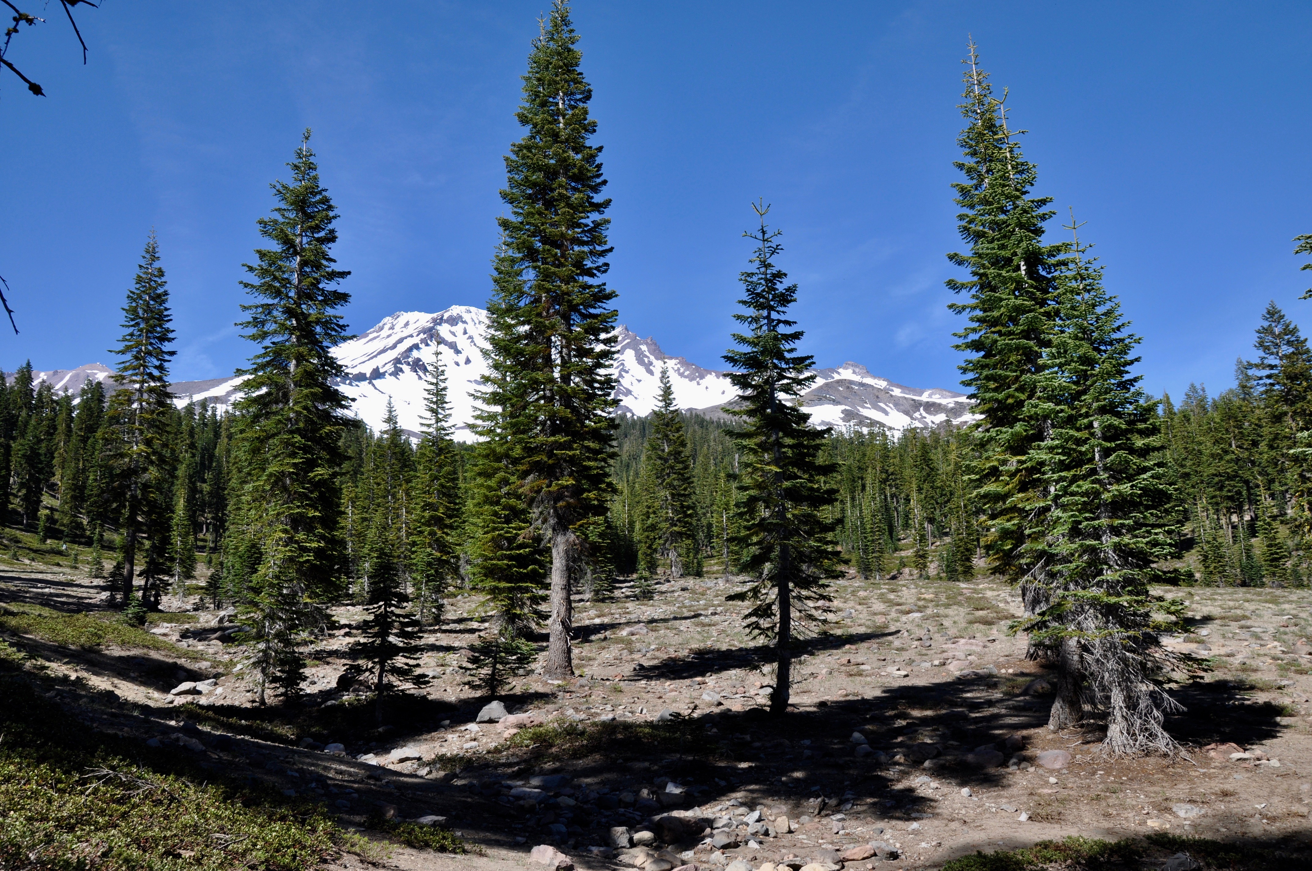
Our journey was always leading us to Mt. Shasta itself. The volcano rises to 14,179 feet and boasts seven named glaciers. We drove up to Bunny Flat trailhead, past a magnificent row of sequoia trees planted ages ago. The parking lot was a general zoo of hikers, but we didn’t have to travel far up the trail before we lost sight of the majority of the people. We took the Horse Camp Trail, only intending to go far enough to find some patches of snow. Several hikers carrying skies passed us along the way, intending to hike the summit and then ski back down.
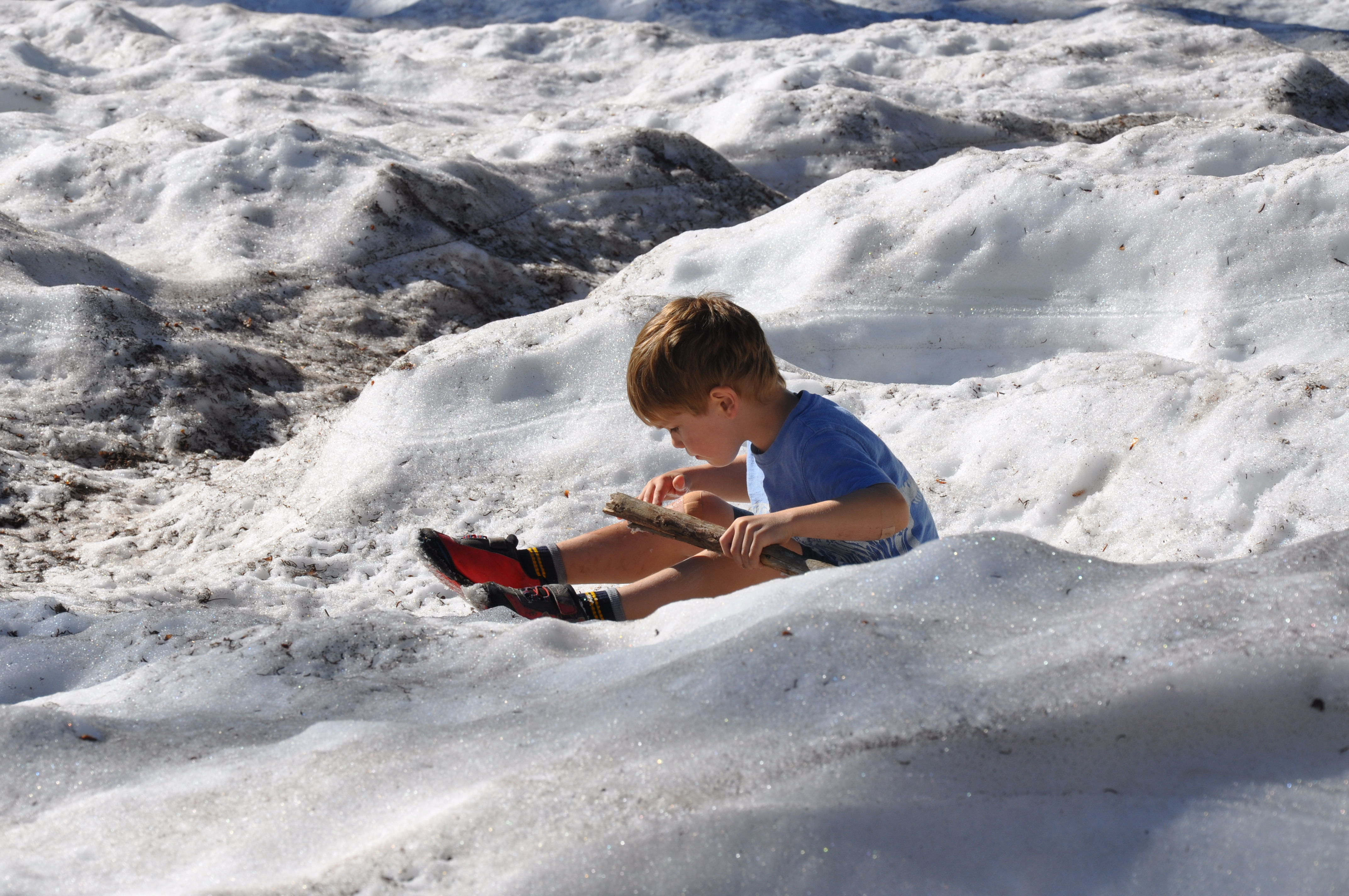
We pushed on farther through the trees, our youngest actually leading the way to find more and more snow (a rare sight for Louisianians). Before we knew it, we had hiked up to the Sierra Club’s Shasta Alpine Lodge at 7,884 feet. The views from here were stunning, with snow blanketing the ground and a fountain of spring water bubbling up for travelers. By the time we made it back down, we had hiked nearly 3.5 miles up and back–a feat for three boys used walking around below sea level! We celebrated our accomplishment with “Gummy Bear Burgers” and “Make Me Want to Cry Garlic Parmesan Fries” from Yaks.
McCloud Falls
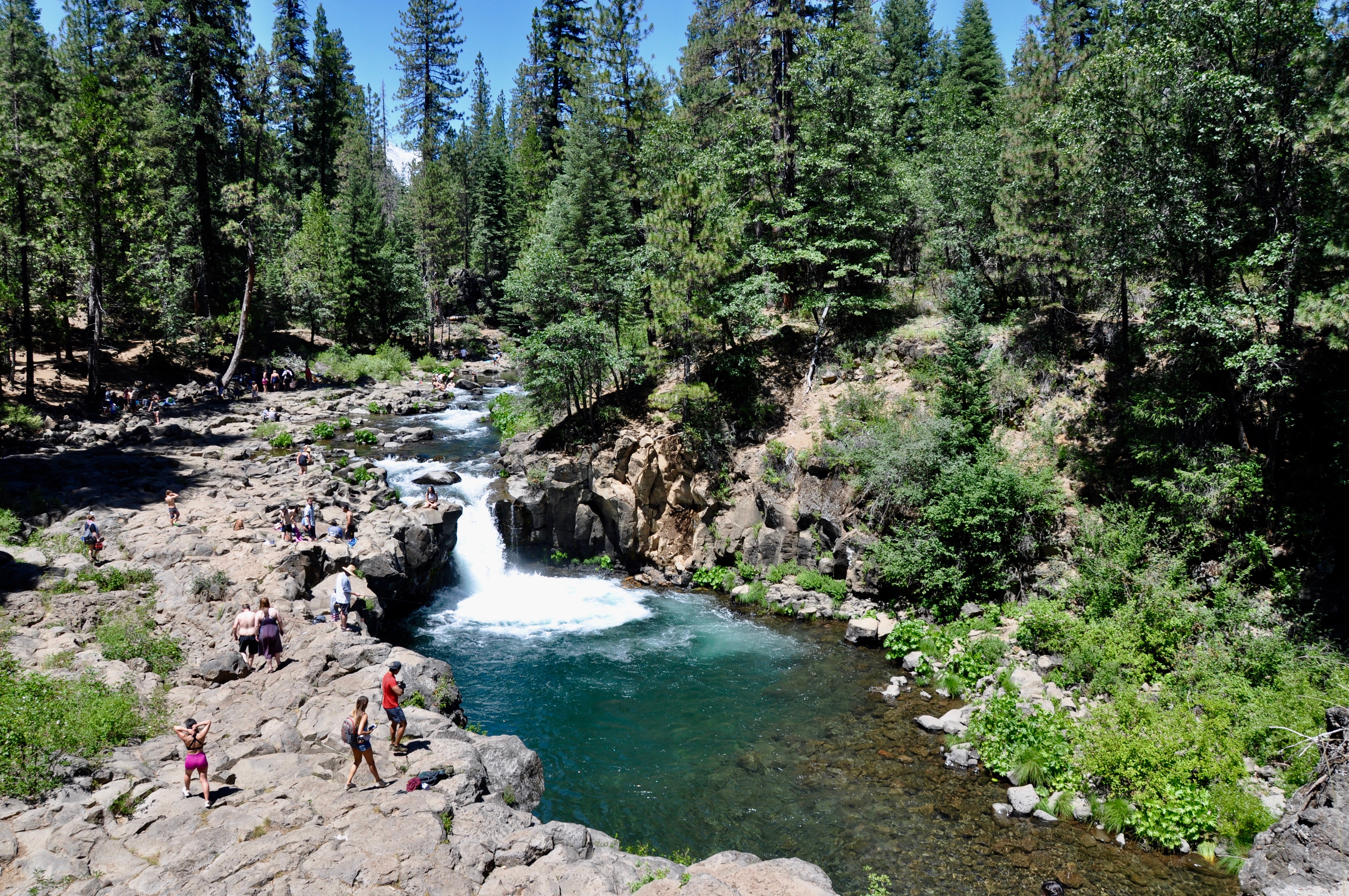
Highway 89 led us past the small town of McCloud, which featured a quaint Main Street complete with an historic inn and an old-fashioned candy store. Nearby McCloud Falls offered three sets of falls – Upper, Middle and Lower – all with separate parking lots or you can hike the 3.5 mile round trip trail between them. Lower Falls (pictured here) was pretty busy, with people swimming, picnicking and fishing all along the clear, cold water. Middle Falls was a short walk to a nice view of the wide, impressive falls, while Upper Falls gushed out between a rock canyon.
Burney Falls
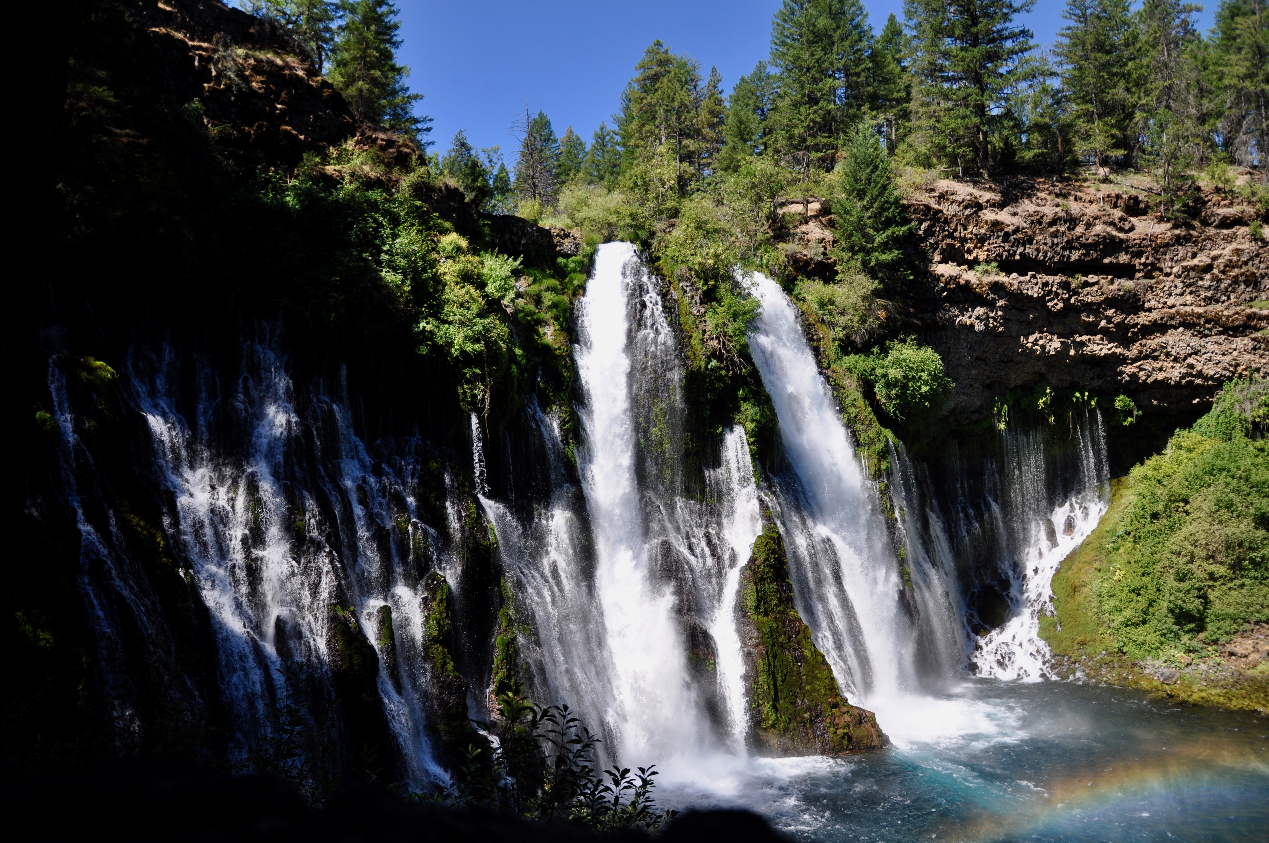
Hands down the most beautiful waterfall in this general area is Burney Falls. A hundred million gallons of water a day flows out of the 129-foot falls, which are so impressive even the kids stopped to stare in awe. Porous, volcanic rock holds much of the water in an underground reservoir, and it then comes back up through springs, feeding into the falls, Temperatures dropped dramatically on the hike down to the waterfall’s base, where we all stood shivering in the mist. Look for the black swifts darting about, often disappearing to their nests behind the falls.
Lassen Volcano
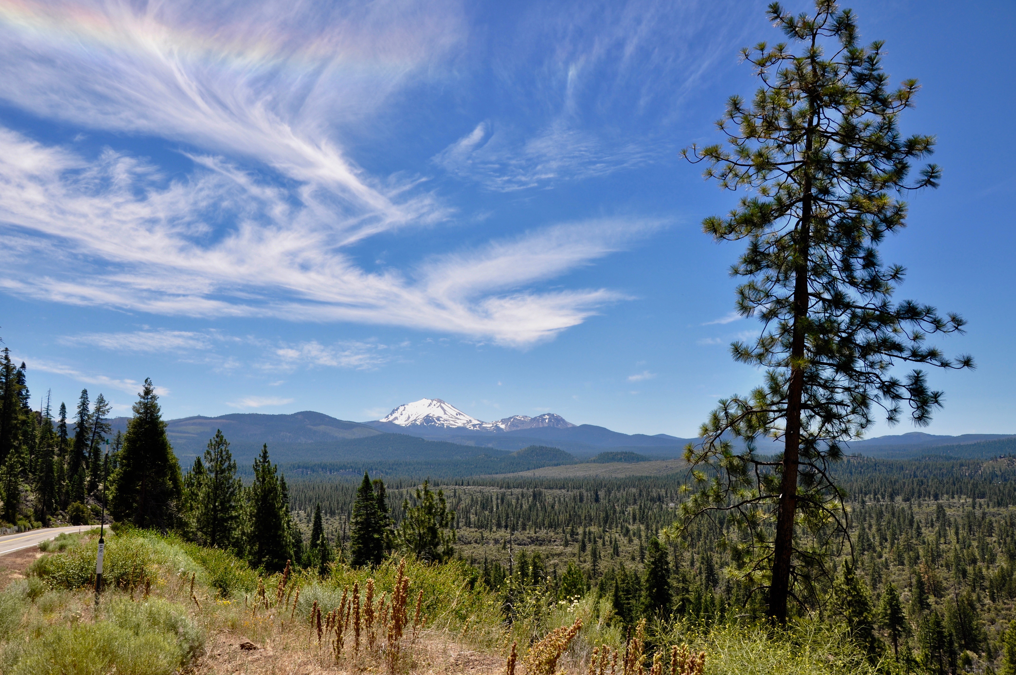
Our last adventure before heading back south to San Francisco was the other-worldly Lassen Volcano. From San Fran, up the coast to the redwoods and across the state to Mt. Shasta, people were everywhere – enjoying the views, the weather and the summer. But Lassen was a different story. Only a handful of cars accompanied us on our drive south, and much of the landscape still reflected the barrenness leftover when Lassen erupted several times between 1914 and 1917.
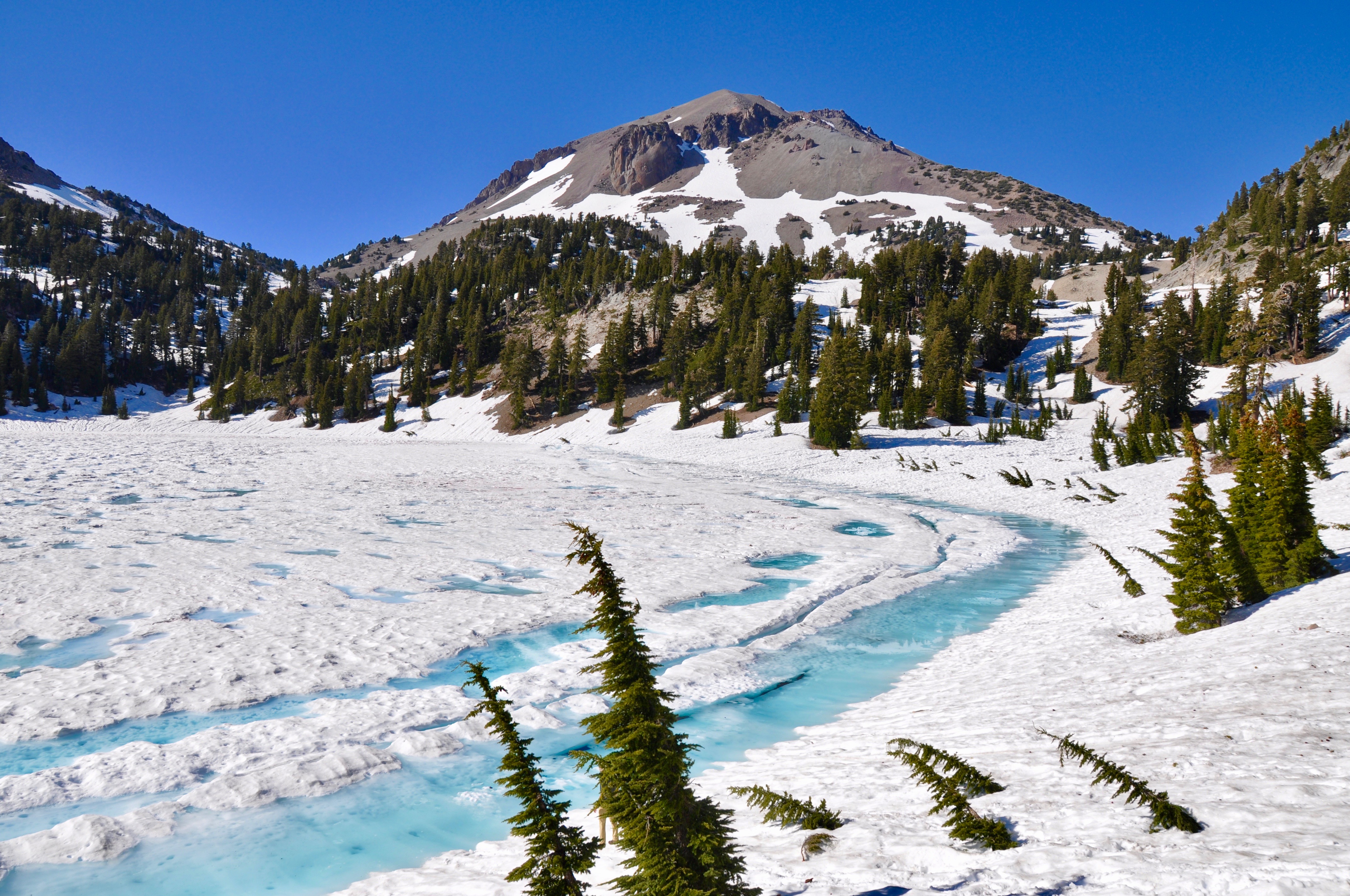
The main road through Lassen is closed much of the year due to heavy snow. Many of the campgrounds are only open June through September. Even in July, our “bathroom stop” at the Lake Helen picnic area revealed only the roof of the bathroom – the rest covered completely in snow. Lake Helen was still frozen over. It was quite a sight for us southerners, who rarely even see snowflakes. In some places, where the roads or parking lots had been plowed, the snow pushed aside stood upwards of 30 feet.
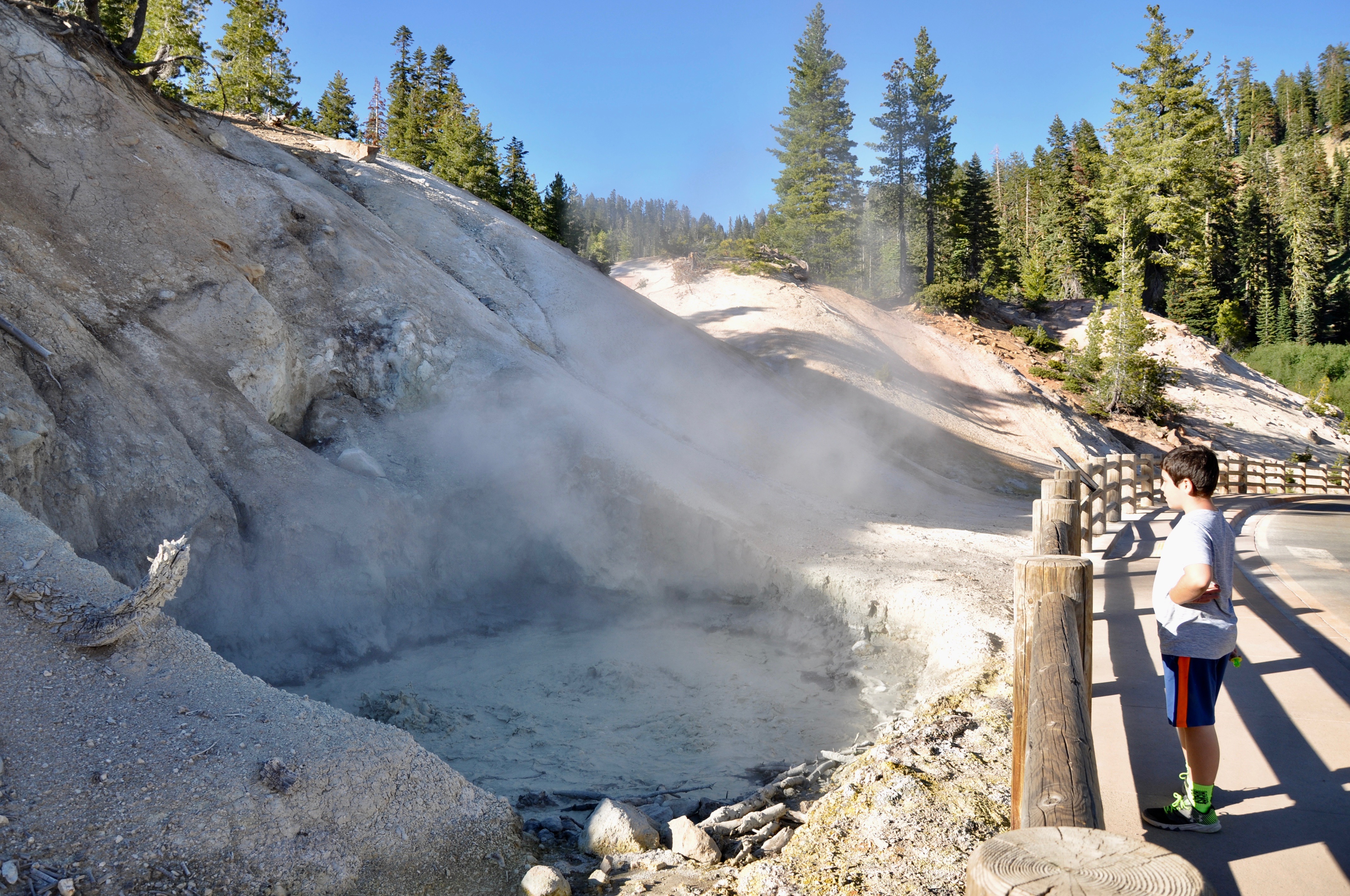
Lassen Volcano is still active, as evidenced by the several hydrothermal areas throughout the park. It’s part of the Cascade Range, which includes Mt. St. Helens and Mt. Rainier. Bumpass Hell is the best known trail for seeing steam vents and boiling pools, but unfortunately it was closed for renovations while we were there. Sulphur Works is just inside the southern entrance to the park and offers easy access to a bubbling mudpot.
by Kristy Christiansen | Aug 29, 2019 | Beyond the State, California, Featured Posts
After traveling from San Francisco to Eureka, part two of our journey was in northern California’s redwood coast. We spent three nights in McKinleyville, just north of Eureka. This gave us two full days for exploring, and we crammed in as much as possible. Our agenda was divided pretty evenly between California’s redwoods and beaches:
Redwoods
Redwood National and State Parks and Prairie Creek Redwoods State Park blur together on a map. Highway 101 leads through both, and other than separate visitor centers, you wouldn’t notice much of a difference. While printing our booklets for the Redwoods Junior Ranger program, I stumbled upon Redwood EdVentures. It’s more than 20 Quests in various locations throughout the Redwood coast. Each Quest has a map and a series of clues to lead you along a trail. At the end of the trail, kids look for a hidden word. When you bring the word back to the Visitor’s Center, you receive a rather nice patch that can be sewn on a backpack or jacket.
Lady Bird Johnson Trail
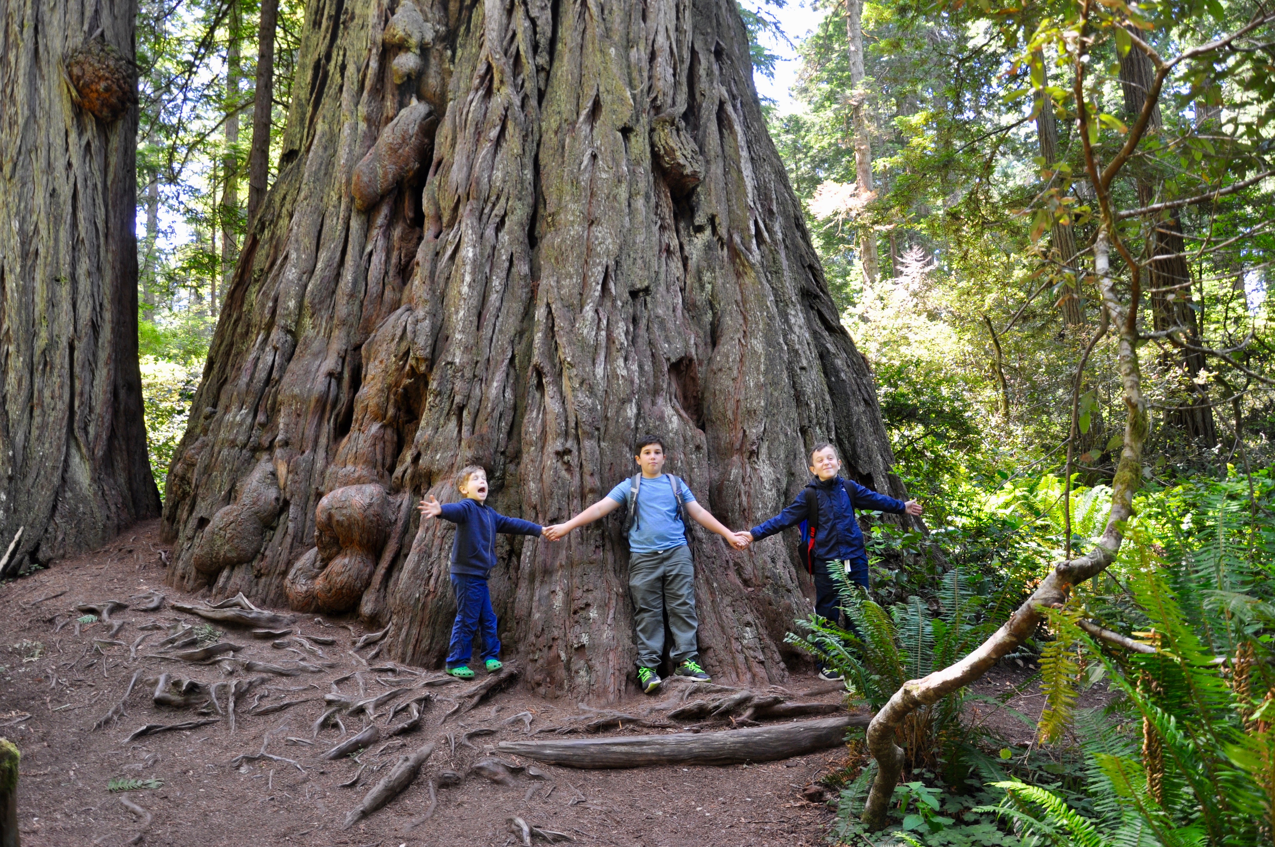
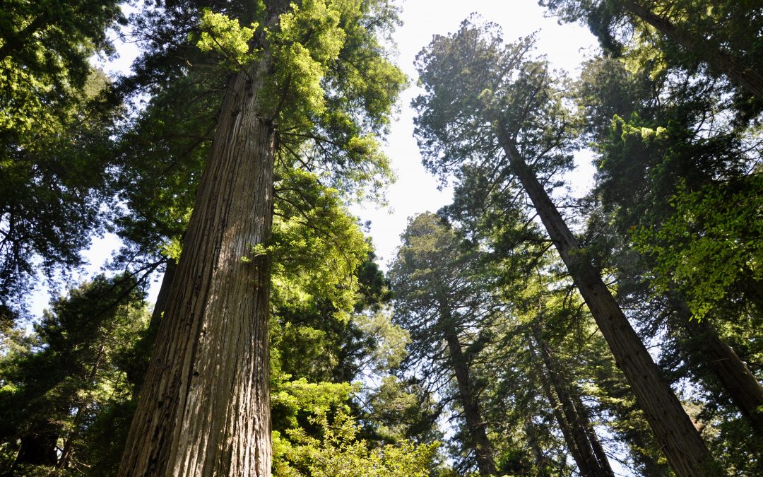
Just north of Orick, turn onto Bald Hills Road to access the Lady Bird Johnson trail. President Nixon dedicated the grove the First Lady in August 1969. Pick up a booklet at the trailhead to learn more about the redwoods along the interpretive trail. There are 13 numbered stops throughout the easy 1.5-mile loop. If you take your time, you’ll find lots of opportunities to step inside trees or gaze upwards at the towering heights.
Prairie Creek Trail
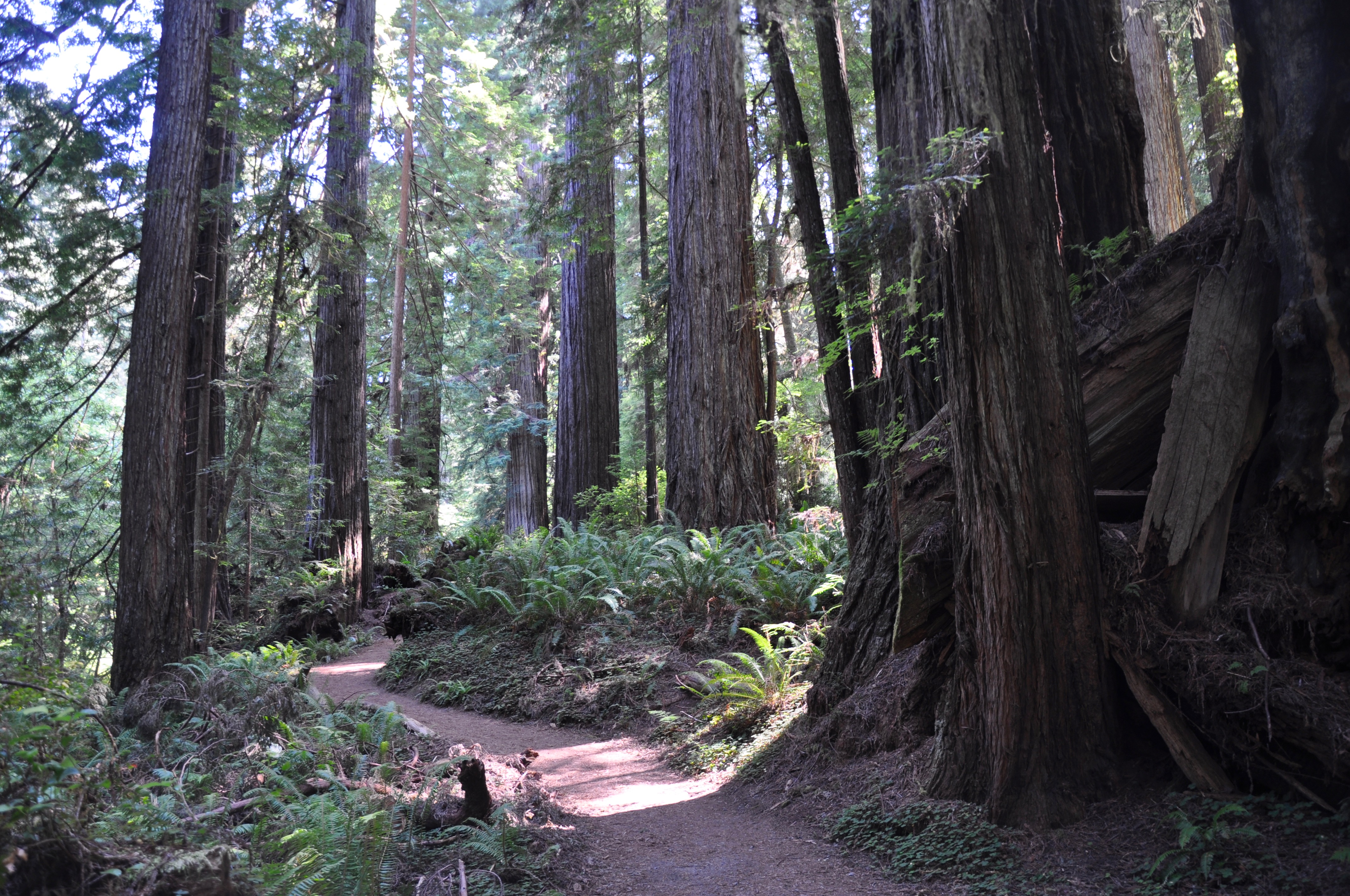
Right outside the Prairie Creek Redwoods State Park Visitor Center is the Prairie Creek trail. This is one of the sites included in the Redwood EdVentures. It’s a beautiful trail, darker and more closed in than the Lady Bird Johnson trail. Prairie Creek winds along beside the redwoods here. The whole loop is 2.5 miles, but if you’re short on time and want to do the EdVentures, you only need to do a 1.5-mile loop to find the clue.
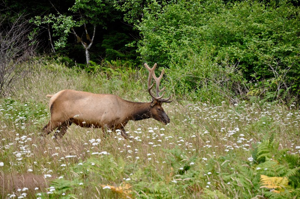
Don’t miss Elk Prairie Meadow outside the Prairie Creek Visitor Center. It’s a great spot for elk watching. We got some close-up views on our way out in the evening. Another highlight of the State Park here is Fern Canyon. Unfortunately, we didn’t have enough time to make it out there, but it’s definitely on the list for next time.
Big Tree Wayside
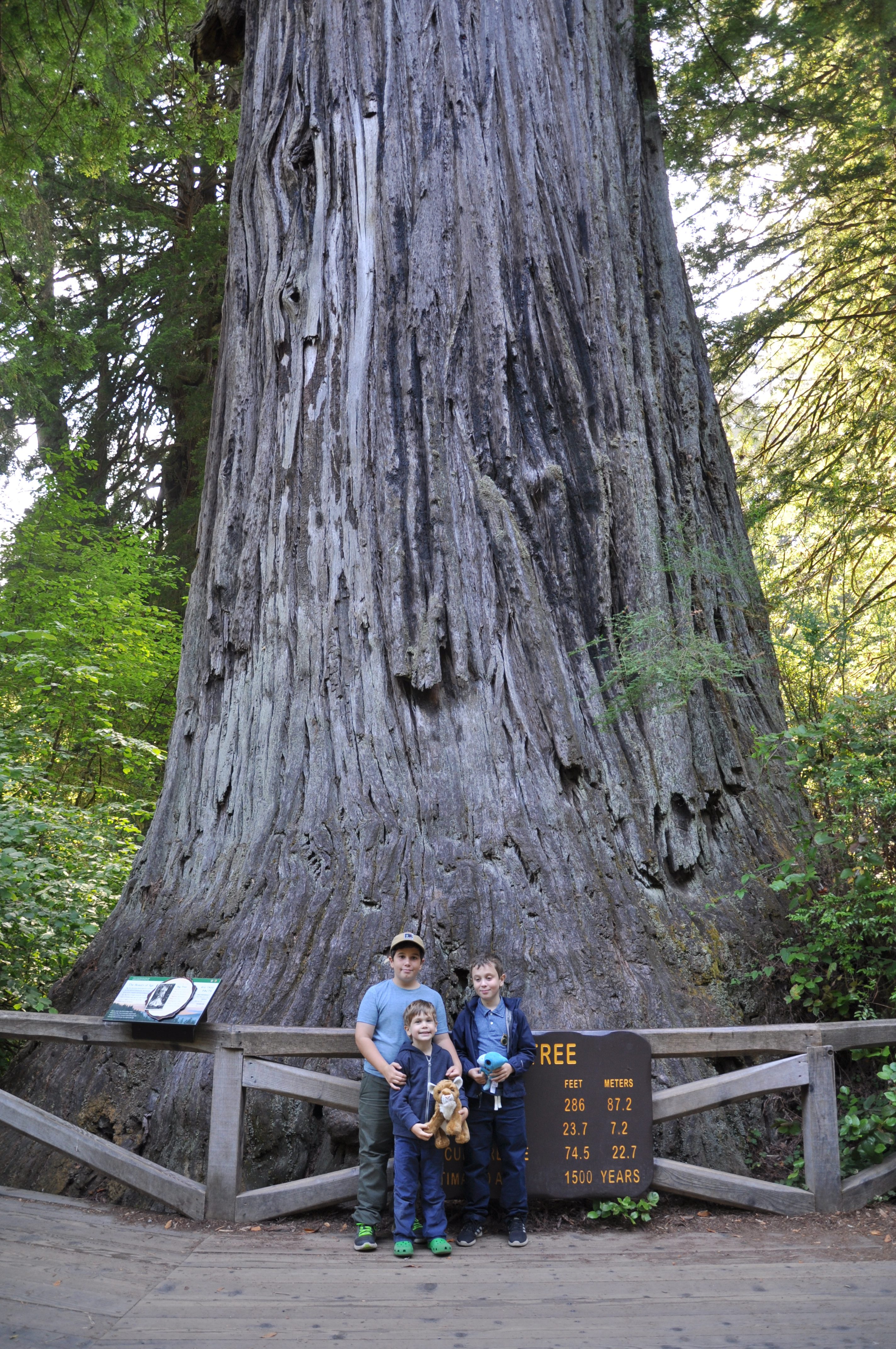
A quick, easy stop is the Big Tree Wayside walk. Only 200 yards from the parking lot, you’ll find the 1,500-year-old behemoth, which stands over 350 feet tall. Short walks from the Big Tree viewing area lead to even larger trees.
Beaches
The advantage of visiting the redwoods is you not only immerse yourself in ancient trees but also get lots of opportunities for rock hunting and ocean viewing.
Agate Beach
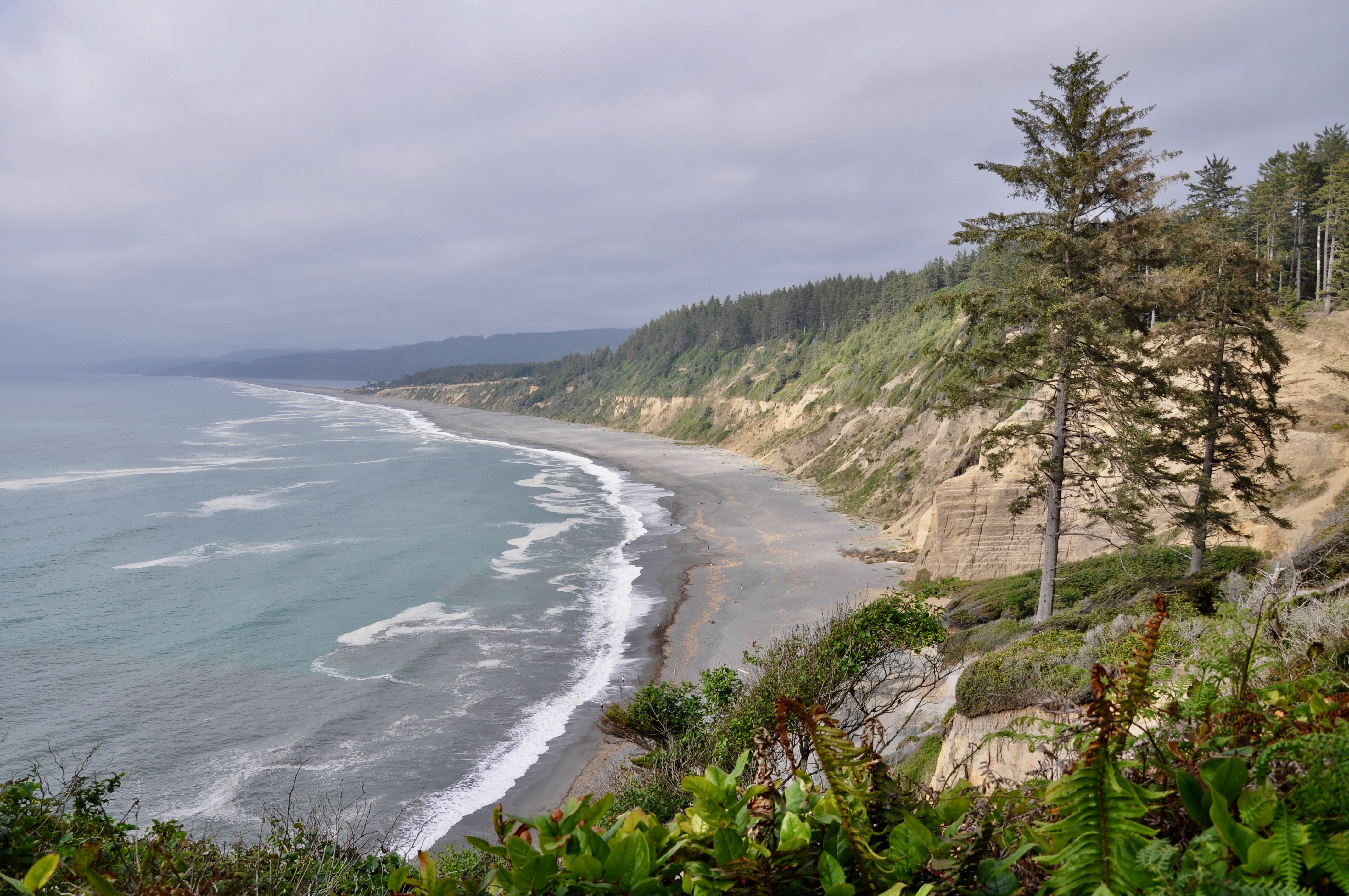
At Patrick’s Point State Park north of Trinidad, a steep cliff-side trail brings you down to Agate Beach. You could arguably spend a whole day here, lying on your stomach, sifting through the rocks in search of agates. We weren’t quite sure what we were looking for at first, but a nearby beachcomber took pity on us and showed us some examples of the translucent gem. While we searched, our youngest built a series of creeks and dams alongside a trapped tidepool. It was one of our favorite spots, and we practically had to drag the boys away.
Ferndale & Centerville Beach
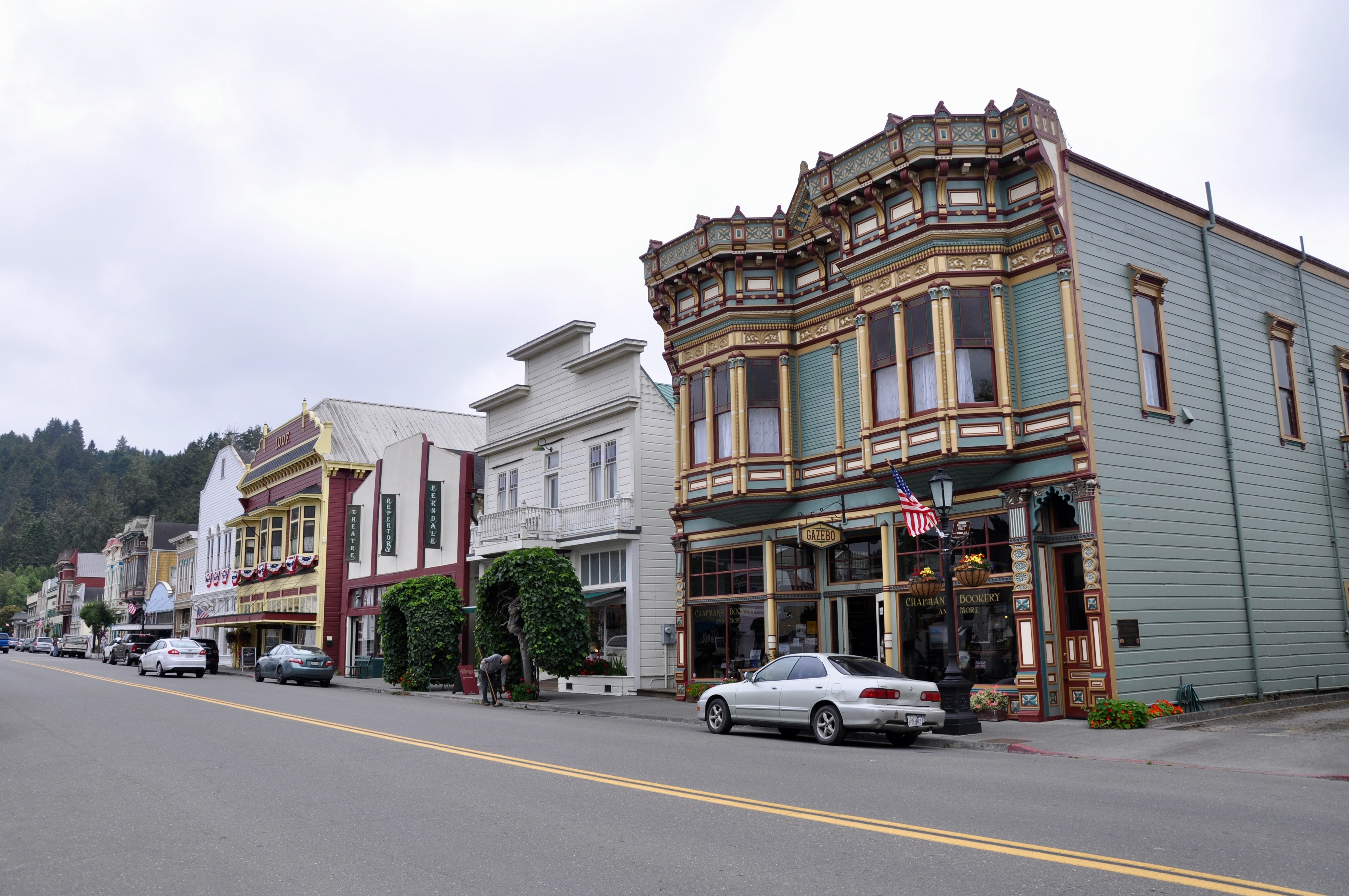
After seeing the advertisements for the Victorian village of Ferndale, we decided to give it a shot. A quaint town with an active Main Street, Ferndale was definitely a hidden gem. Every home and building in town seems to be both architecturally beautiful and historical, and in fact, the entire town is a California Historical Landmark. Our first stop in any small town is always the local bookstore, in this case, Chapman’s Bookery. We searched the guide books and kid’s books sections, excited to find The World of the Wazzlewoods by Tyrel Bramwell, a kid’s chapter book set in Ferndale.
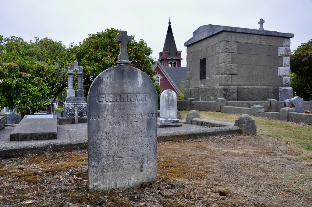
Besides knowing a lot about books, booksellers are generally a great resource for recommending the top sights to hit in the area. This one was no exception, pointing us toward the historic cemetery, which rests on a hill at the edge of town. Some of the graves here date back to the 1800s. Also be sure to check out Golden Gait Mercantile, where I could have spent my paycheck on kitchen gadgets, but ended up settling for some old-fashioned candy.
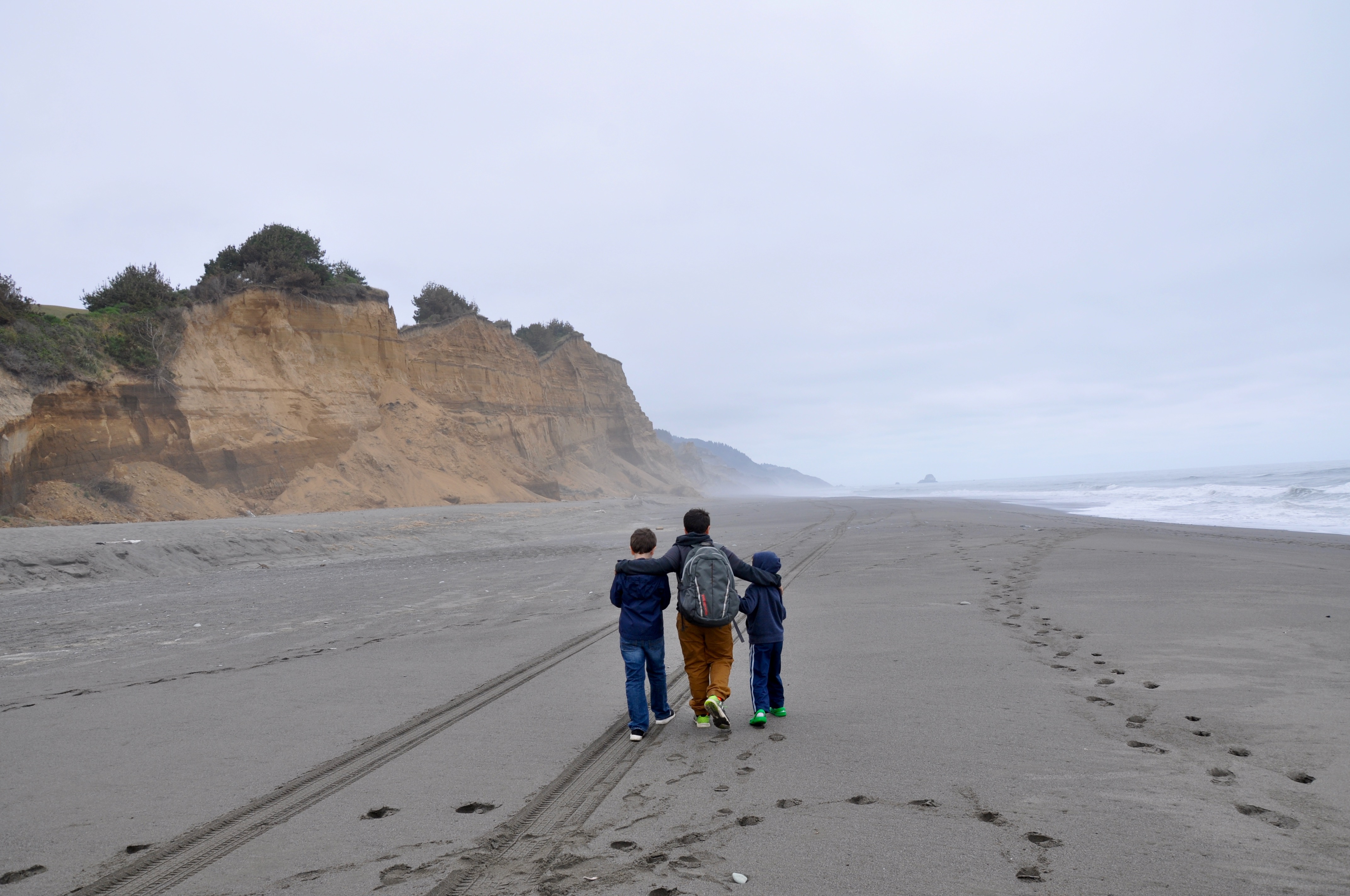
Centerville Beach was a 10-minute drive out of town, down a nearly deserted road through farmland. We questioned our directions until the road brought us right up to the sand’s edge. There were quite a few fireworks remains left over from July 4 celebrations, but after we walked down the beach a ways, the area looked more pristine. We practically had the sand and surf to ourselves, as very few people had ventured out today. We were drawn to the huge cliff south of where we had parked and spent much of the afternoon walking along its base and searching for colorful rocks.
Eureka and Moonstone Beach
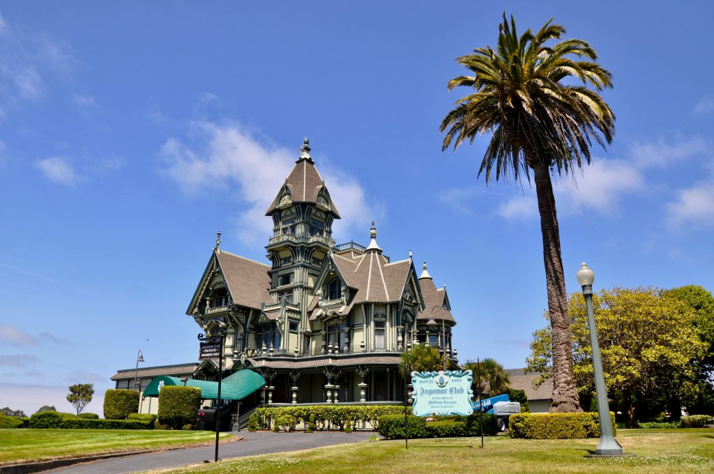
On our way back north, we took Waterfront Drive through Eureka, stopping to gaze at Table Bluff Lighthouse and the Fisherman Memorial on Woodley Island across the channel. At the end of 2nd Street, we ran into Carson Mansion, a stunning Victorian mansion built in 1885. Today it houses the private Ingomar Club.
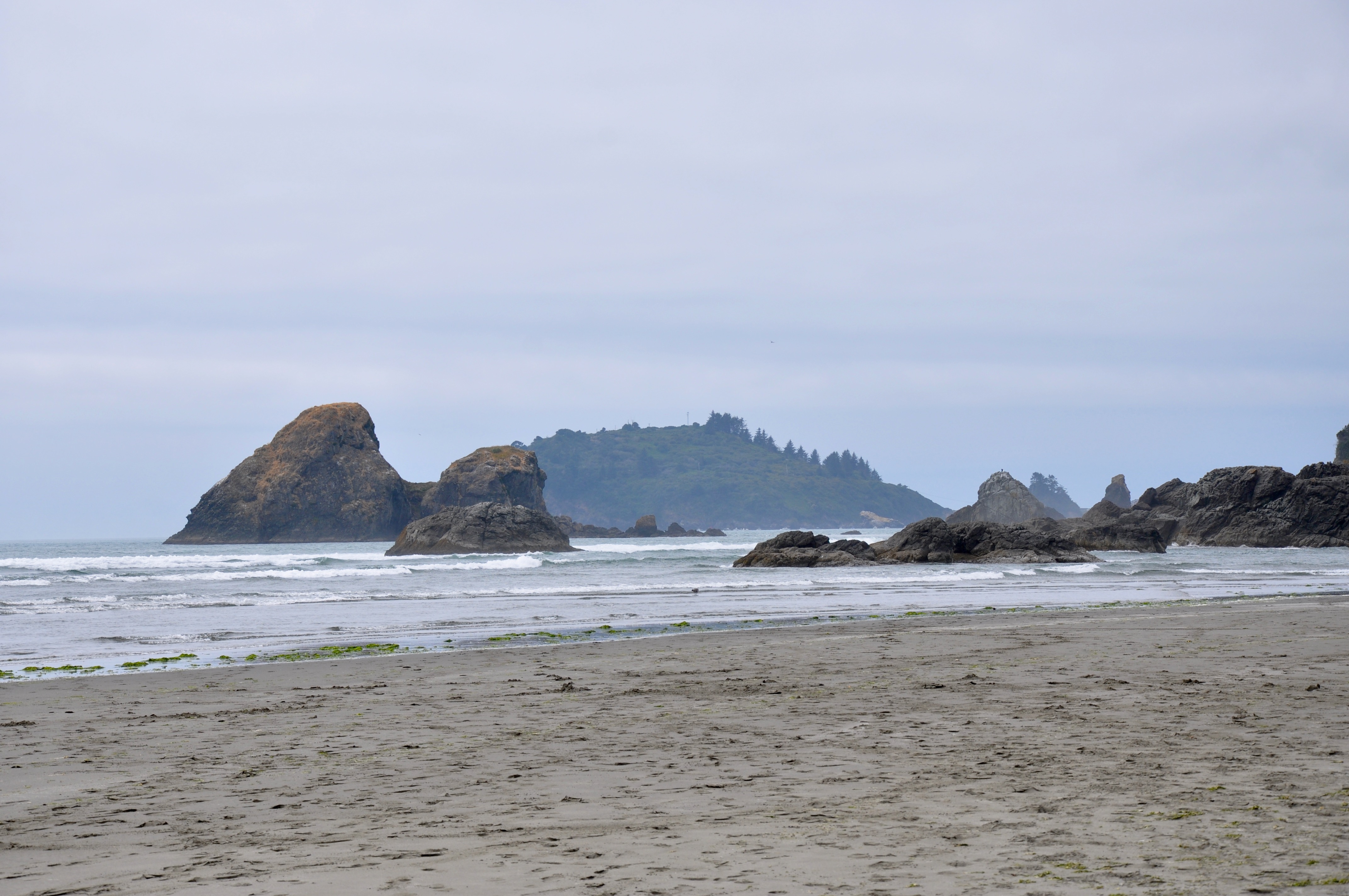
Continuing on, we took a chance at Moonstone Beach. Like all the others, it was beautiful, with Little River flowing through the center of it right out to the ocean. But don’t be fooled by the name. There are no moonstones here. However, on the north end, we discovered a small waterfall spilling from the cliff into the sand and small caves for exploring. It was the perfect spot for three boys to let their imaginations run wild.
Trinidad Beach
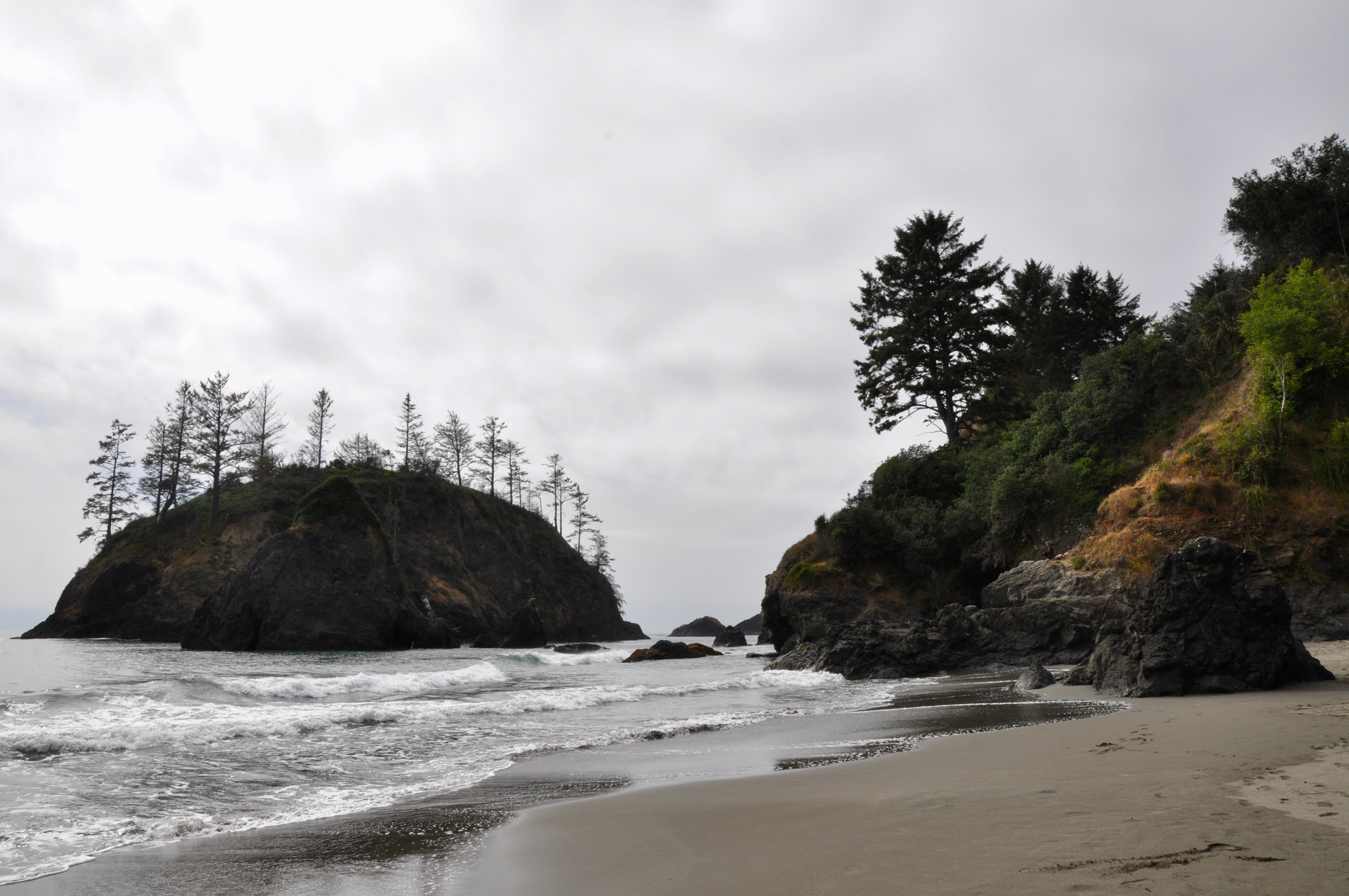
Our last pull off for the day was at Trinidad Beach, just off the parking lot at the end of Lighthouse Road. To the north, the view of the rock outcroppings here was worth the stop. But the kids loved their “secret tunnel” on the south side, where they built a fort out of driftwood and searched for fossils along the base of the rocks. It was their own private hideout tucked away out of sight from the rest of the beachgoers.
by Kristy Christiansen | Aug 16, 2019 | California, Featured Posts
Our most recent summer destination was northern California. After a terrifying flight and unexpected landing in Colorado, we finally made it to San Francisco. Glad to be on land again and anxious to begin our ten-day driving tour, we threw the bags and kids in the rental and took off. We had 10 days to drive a loop from San Francisco north to the Redwoods, east to Mt. Shasta and then back south through Lassen Volcano. It was a whirlwind tour, with probably enough content for a whole book! But I’ll give you the abbreviated highlights from our favorite parts of the trip. Here is our leg along the northern California coast:
Baker Beach
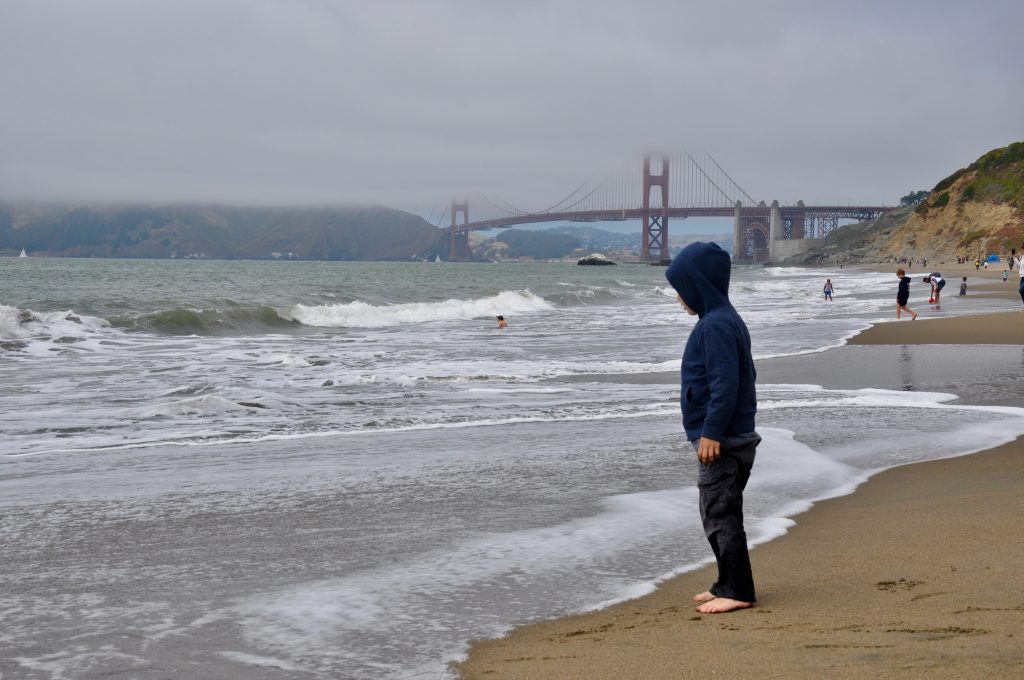
As this was our third trip to San Francisco, we only allotted two days in and around the city – our first and last days. This was just enough time to hit our favorite spots, starting with Baker Beach. On a Friday after lunch, the parking lot and beach were packed to capacity. Kids in bathing suits were playing in the sand and dipping their toes in the frigid water. Being from the South and used to much warmer weather, we shivered in our jeans and jackets. But we didn’t come here to go swimming. Besides the cold, the waves are pretty rough. We came here for the photo op. It’s one of the best places to capture a shot of the Golden Gate Bridge. Besides, it gave our five-year-old some much needed time to run around and dig in the sand.
The Pelican Inn
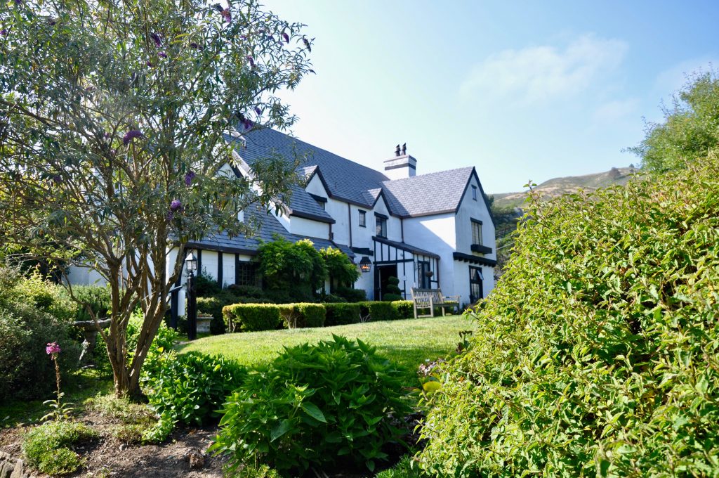
We had a little time before our 6 p.m. parking appointment at Muir Woods. (Yes, in case you haven’t heard, you now need to schedule a time to visit Muir Woods and either reserve a parking spot or a shuttle.) So with time to kill and dinner on our minds, we swung by The Pelican Inn for fish & chips and an English dip sandwich. In between bites, the kids chased birds around the garden, and we watched horses trotting down the road, probably taking their riders to nearby Muir Beach.
Muir Woods National Monument
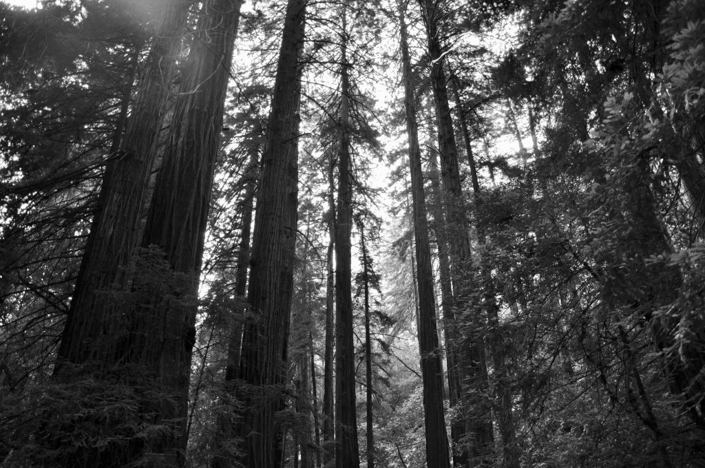
Next up was Muir Woods National Monument. It’s a great, brief introduction to the redwoods before viewing the giants up north. I originally was bummed to get such a late time slot at Muir Woods, but it turned out to be a blessing in disguise. The national monument is open until 8 p.m. during the summer and normally packed. When we arrived, we got a parking spot right up front and practically had the place to ourselves. It’s hard to really experience nature when you’re surrounded by people, so this was perfect. I had printed Junior Ranger booklets back in New Orleans, so armed with their packets and pencils, we stepped into the woods.
As close as Muir Woods is to bustling San Francisco, it feels like you’re worlds apart. The main trail is straight in and out, about an hour and half if you go to the end and back. It’s nicely paved, each side of the trail flanking a stream running down the middle. With the redwoods towering above us, we felt very small next to the tallest living things in the world. As the light dimmed, we finished our hike, and Park Rangers swore the kids in as the newest Junior Rangers.
Muir Beach
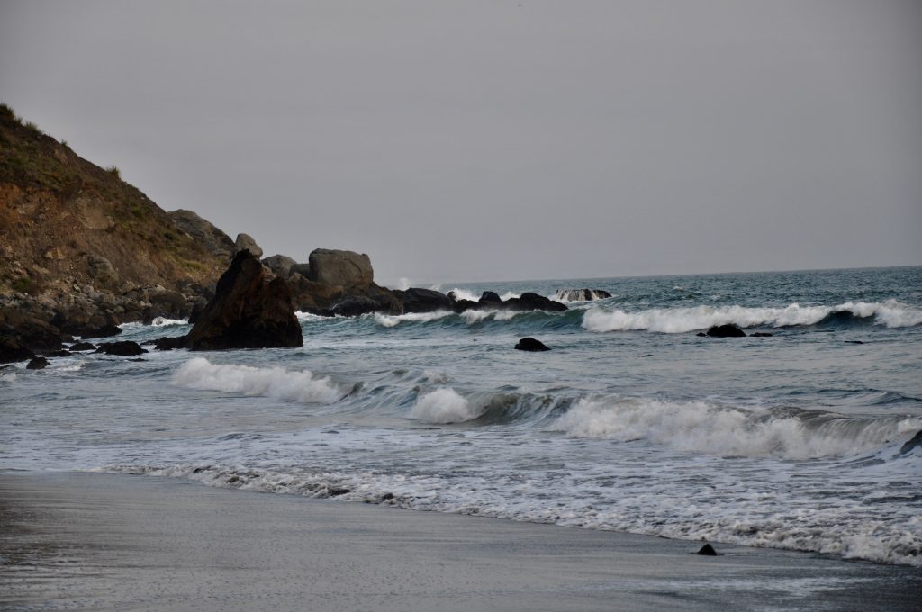
On our way out, we stopped by Muir Beach. It was a short trail down to the water, where groups of kids were huddled around bonfires. Hoards of pelicans flew overhead. My oldest counted over 500 before we finally dragged them away. We still needed to make it to Petaluma for the night.
Luther Burbank Home & Gardens
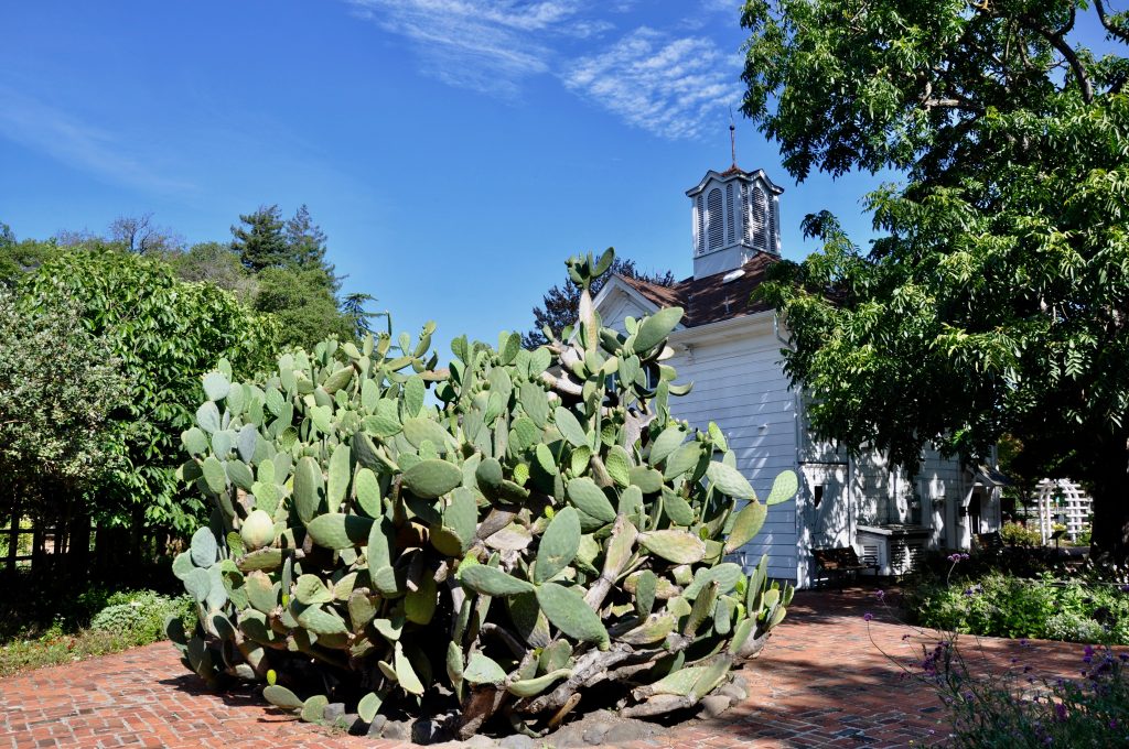
The Pelican Inn was our one splurge on eating out, but now we had to get serious about food. Finding a Trader Joe’s in Santa Rosa, we picked up breakfast and plenty of road trip snacks and had a little picnic at Luther Burbank Home and Gardens. It was early morning, and our only company was the groundskeeper, who welcomed us to enjoy the gardens. Luther Burbank had a 50-year career as a horticulturist, developing many new plants throughout his life. My husband, Paul, is an avid gardener himself. Our little patch of land in New Orleans is exploding with colors and hundreds of plants. And his pride and joy is his spineless cactus, created by none other than Luther Burbank. (It’s also a favorite snack for our red-footed tortoise!)
We couldn’t stay long, though, as we needed to make it all the way past Eureka before nightfall – with several stops planned along the way… Here are some of our favorites:
Hwy. 1 Beaches & Ocean Views
Navarro Point
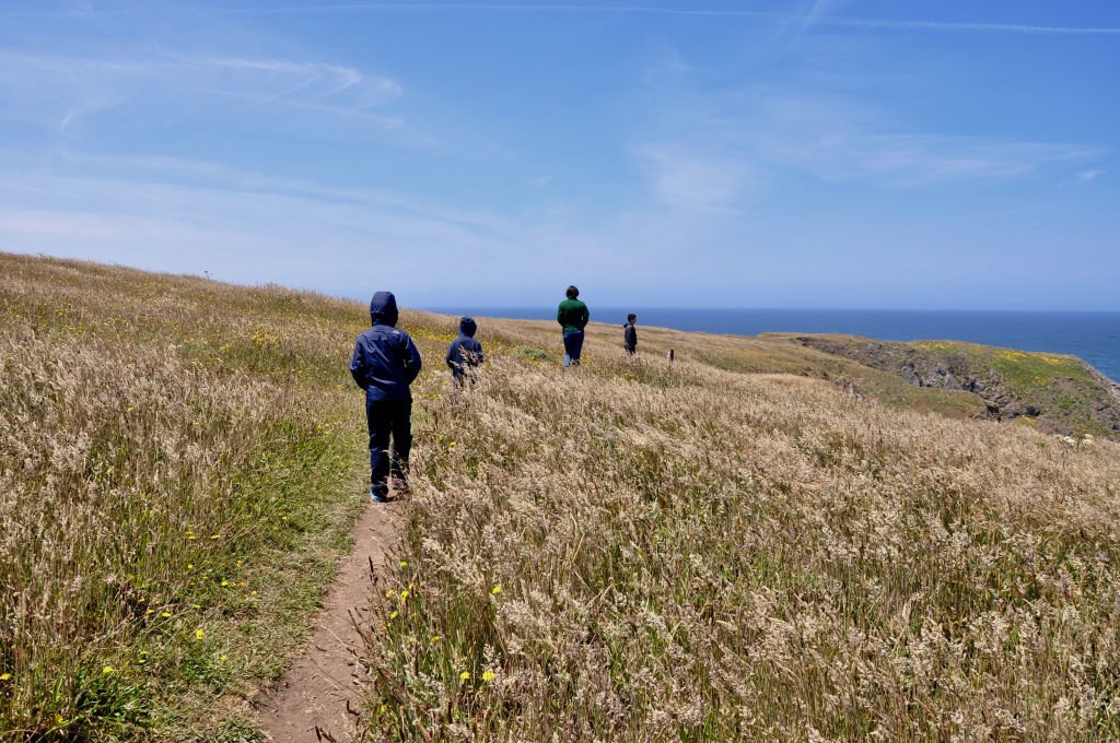
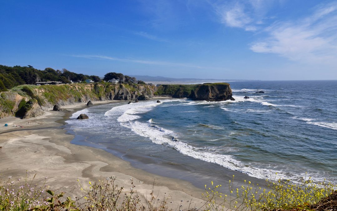
Driving west from Cloverdale along Hwy. 128, the road winds past small vineyards tucked away in hidden hills. You then pass through Navarro River Redwoods State Park, where for 11 miles, second growth redwoods crowd right next to the highway. And then it opens up to Hwy. 1, and the Pacific Ocean glistens before you. We parked at Navarro Point Preserve and hiked the trail through the wildflowers. The reward was expansive ocean views high atop a cliff, with sea lions playing on the rocks below us.
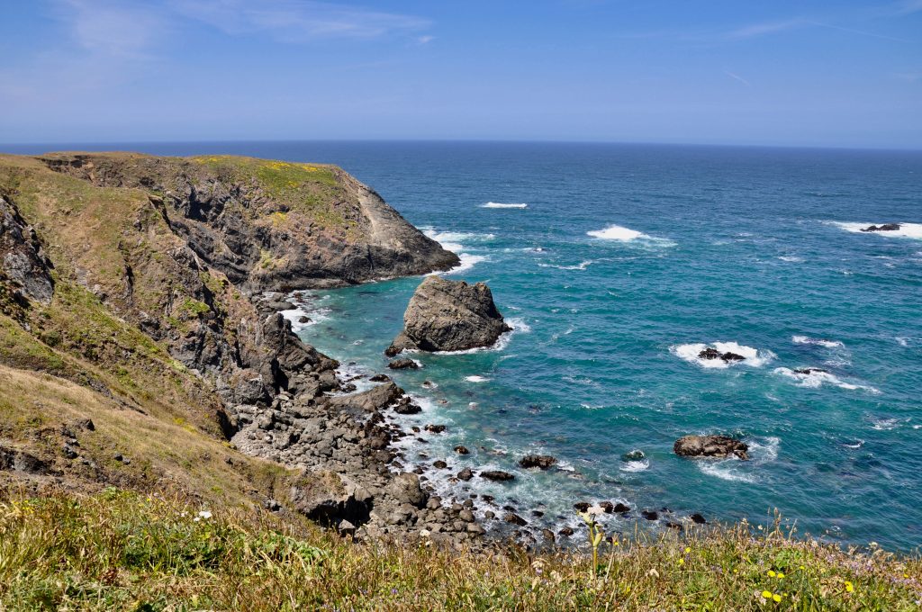
MacKerricher State Park
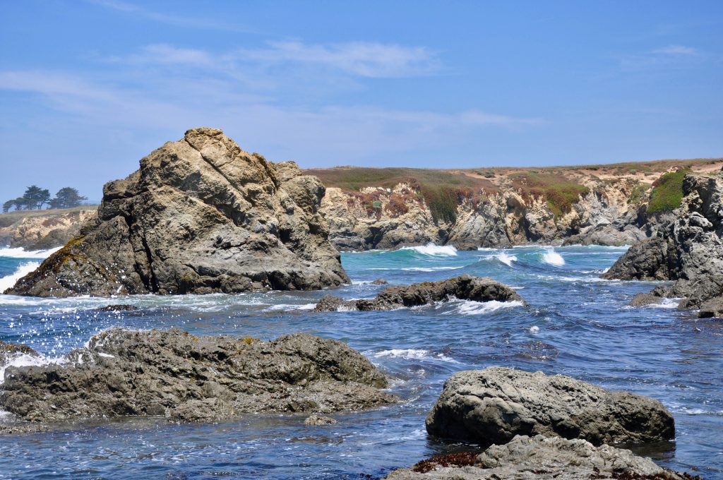
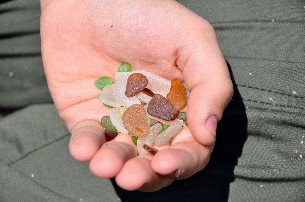
In Fort Bragg, MacKerricher State Park manages nine miles of the coastline. Highly popular Glass Beach was once a dump site following the 1906 great earthquake. Apparently the townspeople hoped that the trash would wash away, but instead the stubborn ocean kept washing it back on the beach. A hundred years later, all that remains are the handfuls of colorful sea glass littering the beach. Take all the pictures you like, but as this is a state park, you’re not allowed to leave with any glass.
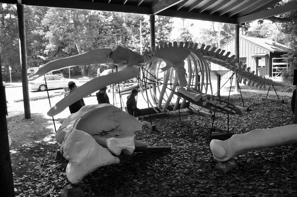
At the main entrance to MacKerricher, visitors are greeted by an impressive whale skeleton. The road brings you around to the beach and a trail to Laguna Point. The seal watching station here offered one of the best views of both harbor seals and sea lions lounging on the rocks before us.
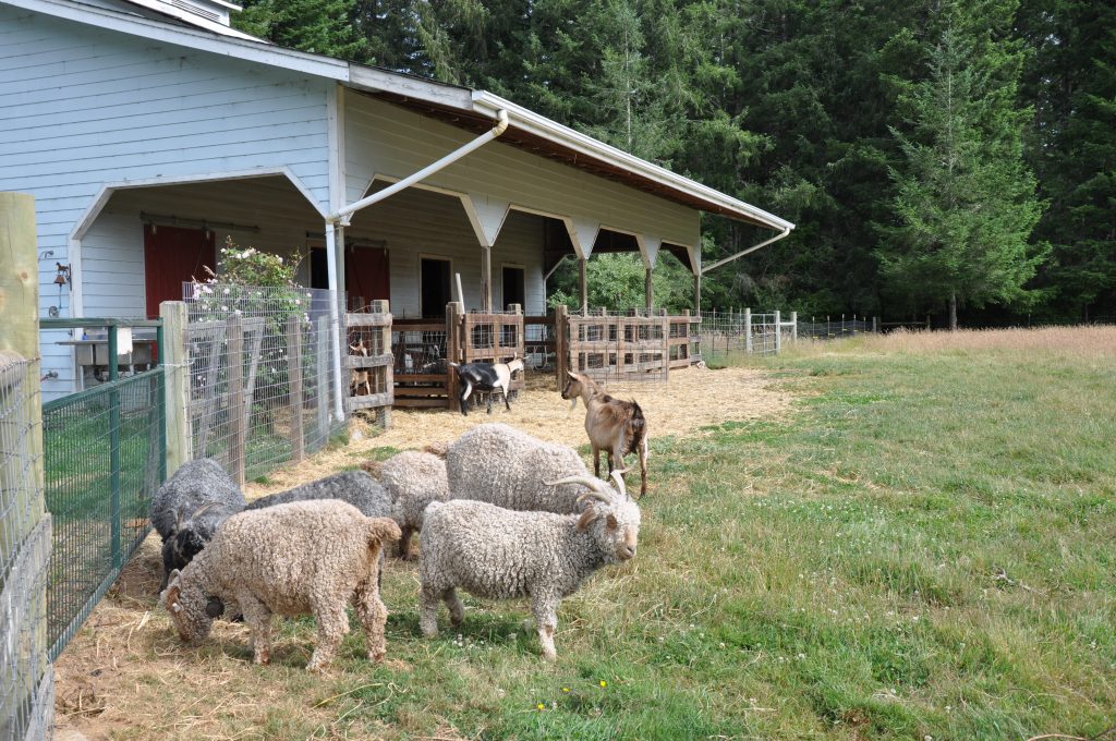
Hwy. 1 north from Fort Bragg offered breathtaking views of the Pacific Ocean around every turn. The road then turned inland back to Hwy. 101. Much of this stretch – 31 miles – is mirrored by the Avenue of the Giants. We had driven this route years before, but unfortunately there wasn’t enough time to take it again. Our Airbnb in McKinleyville awaited. It was indeed a “Charming Farm Barn Loft,” and anyone traveling in the area should check it out.
